Wednesday, March 16, 2011

On Public Process: The Interaction Between Local Government and Citizenry


Last week, I attended a city council zoning commission hearing. I attended this meeting with other members of the Living Streets Alliance. This was the culmination of weeks of efforts on the part of Tucson Velo, the Living Streets Alliance and a variety of other local activists.

The reason we were at this meeting was bicycle parking policy. The city was trying to pass a revision to the city zoning code that would push bike parking to the periphery of certain developments. The specific section of code states that in certain situations, business owners could push bike parking as far as 75 feet away from the front door. The current maximum is 50 feet; 50 feet is the national standard. Locating a bike rack 75 feet from the door of a business could could result in bike racks being placed in an unsafe side of building location. The lack of visibility would probably result in much lower usage of these facilities as well, making them a waste of money.

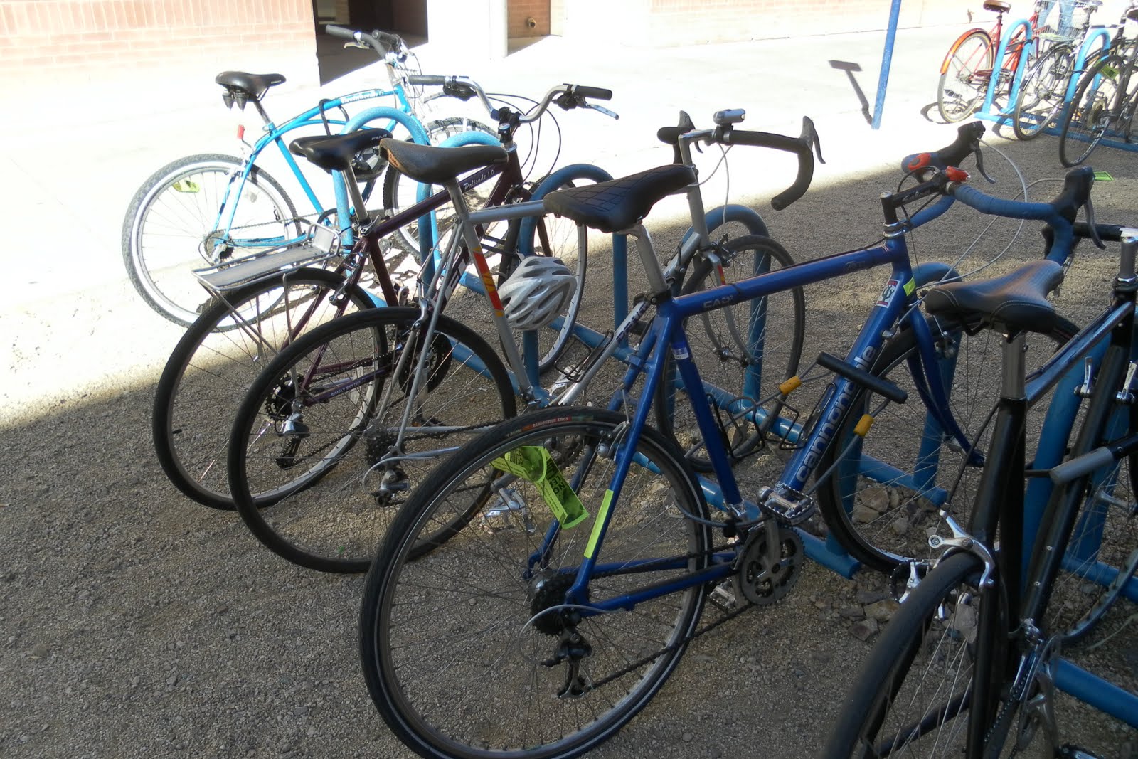
Picture from Tucson Velo; taken at the City Council meeting

First, the good: the city council voted to extend the vote for another two weeks so the needs of the bicycle community could be discussed and met. As Tucson Velo later reported, this resulted in a compromise between the city and bike representatives.

Now, the irony: this zoning code was primarily about reducing parking minimums! I was unaware of this fact before walking into this meeting. After hearing this zoning revision discussed, I could only imagine how the city council felt: here was a group of stakeholders who probably wanted these parking minimums to begin with, protesting the passing of a really progressive zoning policy. I hope, and think, they understood where we were coming from.

Why pass an imperfect policy if we could make it better? This, after all, is the whole point of the democratic process. However, the city council was wondering why this problem wasn't hashed out during the multi-month long process of the development of this zoning amendment. This process included many bike related stakeholders as well.

One theory: Jason Wong, a developer who was pushing really hard for the city council to pass the zoning revision that very night. Some believe that he stuck in the regressive bike parking exemption at the last minute.

Whatever the reason, the city council meeting was fascinating. The whole process, from the introductory Pledge of Allegiance to colorful local city residents speaking up about various issues, was eye opening. This was my first Tucson city council meeting and it probably will not be my last.

It was encouraging to see democracy work effectively to resolve conflicts between stakeholders. I think we sometimes forget that the ineffective federal Congress is not the only governing body in the country. Local level government is filled with passionate people who intimately understand the local issues. I am happy to report that the Tucson city council, at least in this example, is of the people, by the people and for the people.

Monday, March 7, 2011

The Central Avenue Corridor, Albuquerque, NM


In my GEOG 416E geovisualization class, we recently completed a lab. The premise of this lab was based on comparing the properties of Google Map/Google Earth vs. ArcGIS as geovisualization tools. For my project, I decided to do a cultural and spatial interpretation of the Central Avenue corridor in Albuquerque from a urban planning perspective.

Here is the result:

View Albuquerque's Central Ave. Corridor in a larger map

If you click on the "View Albuquerque's Central Ave. Corridor in a larger map" link, you can gain a better sense of the context of the route. I put place marks along the route on intersections I felt were relevant to the history of Albuquerque. Each of the place marks contain some sort of information about that specific intersection and its relevance.

My main goal with this lab was to show all the different types of land uses that exist along Central. One important aspect of this is the fact that Central used to be a part of Route 66, a historic highway that traveled from Chicago to Los Angeles before the interstate system was constructed. Much of modern day Interstate 40 = old Route 66.

My main motivation for creating this map was my memory of a round table discussion I attended last summer in Albuquerque. A large diverse group of stakeholders gathered in a downtown Albuquerque hotel to discuss the future of the Central corridor. Our primary reason for gathering was the desire to acquire a federal TIGER grant. The grant was to fund transportation and land use improvements along this vital and historic corridor.

After a few meetings, however, it became clear that moving in one single direction would be challenging. This makes sense, as Central is quite possibly one of the most diverse single corridors in the United States. It includes Downtown, Old Town (top tourist attraction), UNM (major university), Nob Hill (art district), the State Fairgrounds and much more.


A conclusion was never reached but the discussions stuck with me.

One group in Albuquerque, The Zipper, has tried to address the diversity of this corridor. They have marketed the Central corridor as a unique and fun place to shop, live and explore. Though they only address a portion of this amazing corridor, they should definitely be included in the process of developing this corridor in the future.

So now I have created this map. I wonder: would the existence of this map benefited the planning process? The ability to visualize place in a project can be quite valuable in these situations.

Look at my map. Click on the place markers. Is it user friendly? Is it educational? Let me know.

Thanks for reading!

Saturday, March 5, 2011

My Appearance on the Local News, Discussing Bicycle Parking Policy


As discussed in the previous post, here is the news story about bike parking that I was interviewed for. I am on the video next to the article as well.

I appear about one minute into the video version of this story.

Thanks for watching!